2018–present ·
Mapping crises with human-centred AI
How can we rapidly identify who and what has been affected during a crisis, such as a climate or conflict shock, when direct measurement is incomplete?
Human-centred AI methods that analyse alternative data sources such as satellite imagery, generating reviewable information for humanitarian response.
The challenge
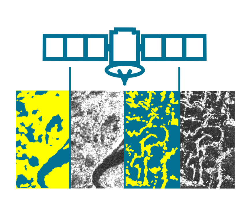
During floods, conflict and other acute crises, response teams need timely and accurate information. Alternative data sources, such as satellite imagery, can provide broad geographic coverage, but expert analysis is time-consuming and fully automated systems can fail when imagery, terrain or settlement structures differ from the data used to train them.
Research contribution
This programme develops workflows in which machine-learning models accelerate repetitive analysis while domain experts retain the ability to review, correct and adapt the results. The work includes rapid flood mapping from Synthetic Aperture Radar imagery, shelter detection in refugee settlements and the design of model hierarchies that can be fine-tuned to a new geography.
Selected outputs